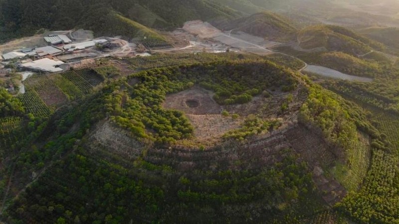
Located on the M’Nong plateau at average elevation of 600-700 m, with the highest point being Ta Dung at 1,982 m, Dak Nong Geopark covers an area of 4,760 km2 of the northern districts of Dak Nong province in Vietnam’s Central Highlands, according to UNESCO.
The Geopark can be reached by several routes by land and air, including two international border gates with Cambodia. Characterised by sub-equatorial tropical monsoon and plateau climate, the area features an evenly distributed network of rivers, streams, lakes and reservoirs.
Dak Nong Geopark is the third UNESCO-recognised Global Geopark in Vietnam after Dong Van Karst Plateau Geopark in Ha Giang province and Non Nuoc Cao Bang Geopark in Cao Bang province, both in northern Vietnam.


