Due to the influence of a low-pressure trough combined with wind convergence up to 5,000m, from June 8 to 10, the North Vietnam, Thanh Hoa and Nghe An will face moderate to heavy rains and thunderstorms with an average rainfall of 80-200mm per period and even over 250mm per period in several places.
During the thunderstorms, there will be a possibility of tornadoes, lightning, hail and strong winds while risks of flash floods, landslides and localised flooding are warned in mountainous provinces.
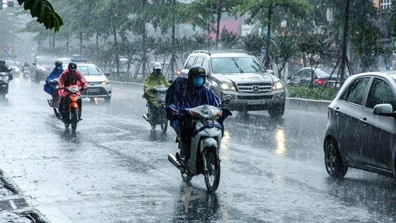
Showers and thunderstorms are expected to hit the capital city of Hanoi on June 8-10 with possibility of lightning, hail and wind gusts.
In the southern seas from Binh Thuan to Ca Mau and the northwest sea of Truong Sa Archipelago will see south-westerly winds of level 5 with wind gusts up to level 7 and sea waves from 2-3m.
In the middle and south of the East Sea/South China Sea (including the waters of the Truong Sa Archipelago), the sea from Binh Dinh to Ca Mau, from Ca Mau to Kien Giang and the Gulf of Thailand will suffer showers and thunderstorms with the possibility of tornadoes and strong gusts of wind.
Strong winds and thunderstorms over the southern seas are likely to last for the next 3-5 days.


