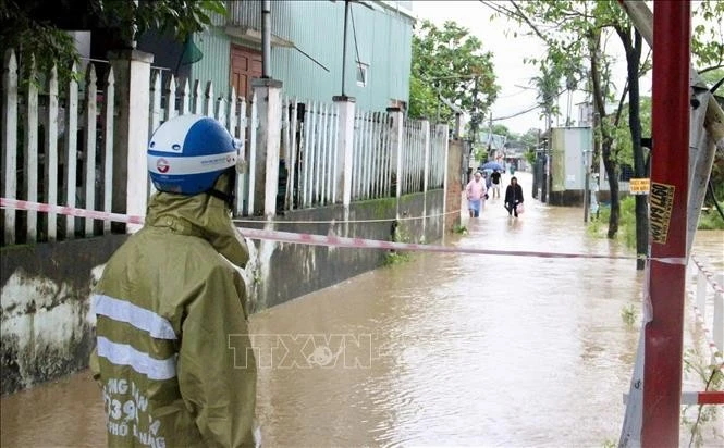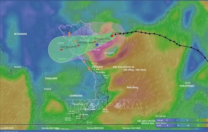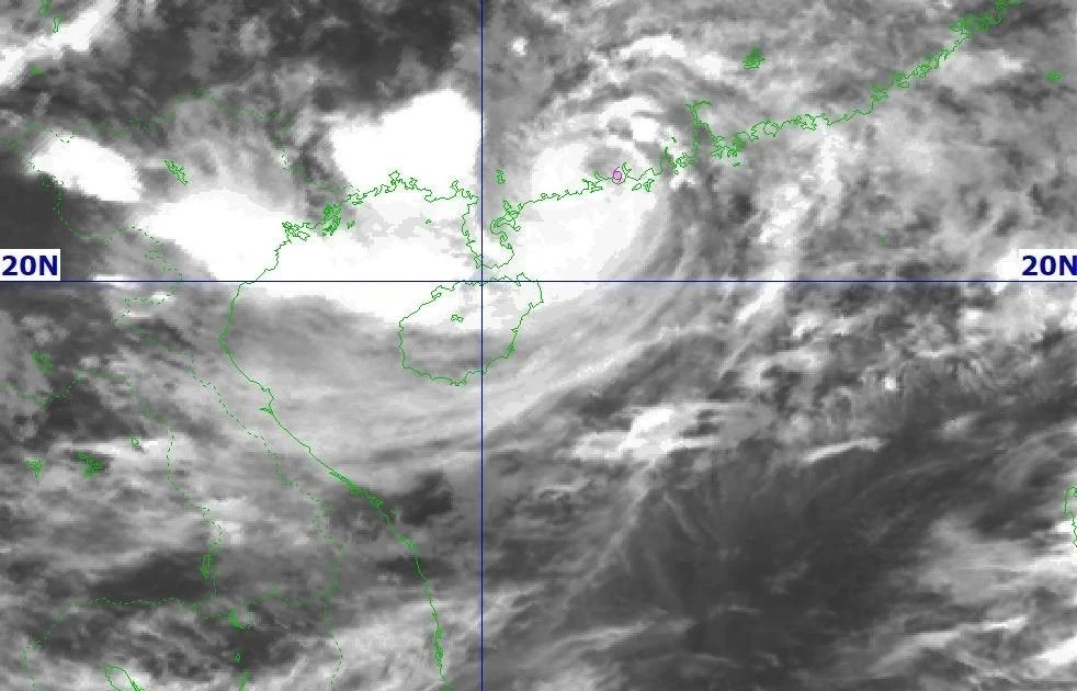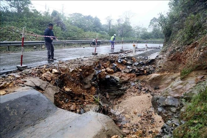
Central region at risk of flooding, landslides, strong cold spell to hit North
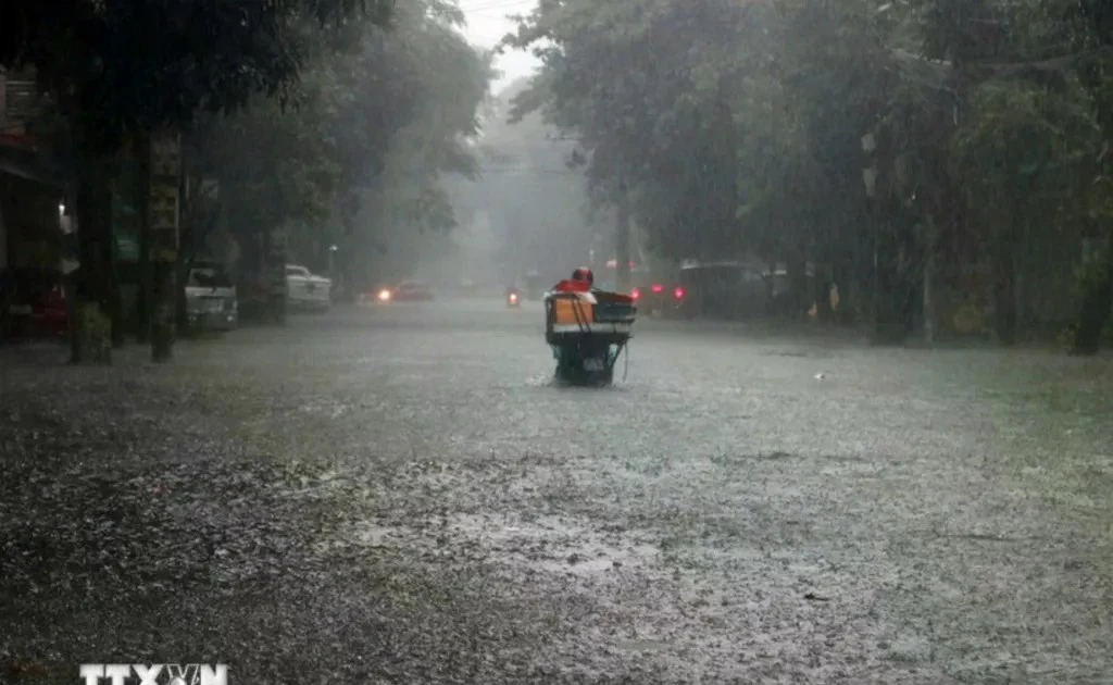
Between the night of November 17 and 19, the North will also experience rain. The combination of rain and strong cold air will cause a sharp drop in temperatures across the northern region and the provinces of Thanh Hoa, Nghe An and Ha Tinh.