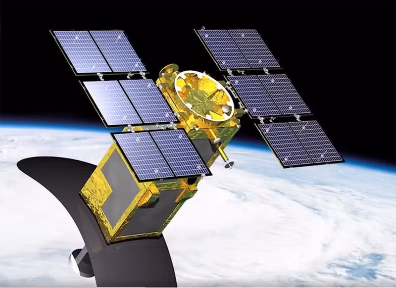
VNREDSat-1 weighs nearly 120kg and measures 1,200mm x 600mm x 600mm. It was launched into space on May 7, 2013, from Kourou, Guyana, France, marking an important milestone for Viet Nam’s high-tech sector in general and satellite technology in particular.
Operating in the visible light spectrum, VNREDSat-1 can capture images in one panchromatic (PAN) channel and four multispectral (MS) channels, with a revisit cycle of three days.
Over the past 13 years, the satellite has served as an active and proactive monitoring tool supporting natural resources and environmental management, scientific research, training, socio-economic development, and national security, contributing to affirming Viet Nam’s space sovereignty.
Despite being originally designed with a lifespan of five years, VNREDSat-1 has continued operating beyond its expected service life and remains a reliable source of satellite imagery data for Viet Nam.
“The VNREDSat-1 system continuing operations into its 14th year demonstrates Viet Nam’s resilience and proactiveness in low-earth-orbit remote sensing satellite technology,” said Associate Professor and Dr. Pham Ngoc Diep, Director of the Centre for Astrophysics and Space Exploration under the Viet Nam National Space Centre.
During its operation, the VNREDSat-1 system experienced several technical incidents that temporarily interrupted imagery data provision. However, thanks to accumulated expertise and experience, engineers from the Viet Nam National Space Centre proactively coordinated to resolve the issues, helping maintain the satellite’s operations into the 14th year.
")
According to the Viet Nam National Space Centre, from 2020 to the present, the VNREDSat-1 system has provided nearly 30,000 satellite images serving natural resources and environmental management, scientific research, training, socio-economic development, and national security, thereby contributing to affirming Viet Nam’s space sovereignty.
With an operational model suited to practical conditions, the VNREDSat-1 system has helped shape Viet Nam’s space infrastructure while serving as an important technical and human resource foundation for future low-earth-orbit remote sensing satellite projects of the Viet Nam Academy of Science and Technology in the coming time.
In recent years, Viet Nam’s space sector has reached several milestones, including the launch of two VINASAT telecommunications satellites, the VNREDSat-1 earth observation satellite, and the independent development of three small satellites: PicoDragon in 2013, MicroDragon in 2019, and NanoDragon in 2021.
Currently, Viet Nam’s first radar earth observation satellite, LOTUSat-1, has been manufactured and is ready for launch into orbit. Weighing around 600kg, LOTUSat-1 uses advanced radar technology capable of detecting objects as small as one metre on the ground, observing both day and night, and operating in all weather conditions.
Recently, under Decision No. 21/2026/QD-TTg by the Prime Minister on the list of strategic technologies and strategic technology products, aerospace technology continued to be identified as one of Viet Nam’s 10 national strategic technology groups, with specific products including satellites and clusters of low-earth-orbit observation satellites.