In pictures: Ba Lang An Lighthouse – the “Eye of the Sea” amid Quang Ngai Province’s “Lava Museum”

Ba Lang An Cape in Quang Ngai Province is the point on the mainland closest to the Hoang Sa (Paracel) Islands. The site is home to a lighthouse that has been in operation since 1982, alongside a geological complex of million-year-old volcanic sedimentary rocks, making it a striking destination renowned for its spectacular natural scenery and its significance to Viet Nam’s history and maritime sovereignty.

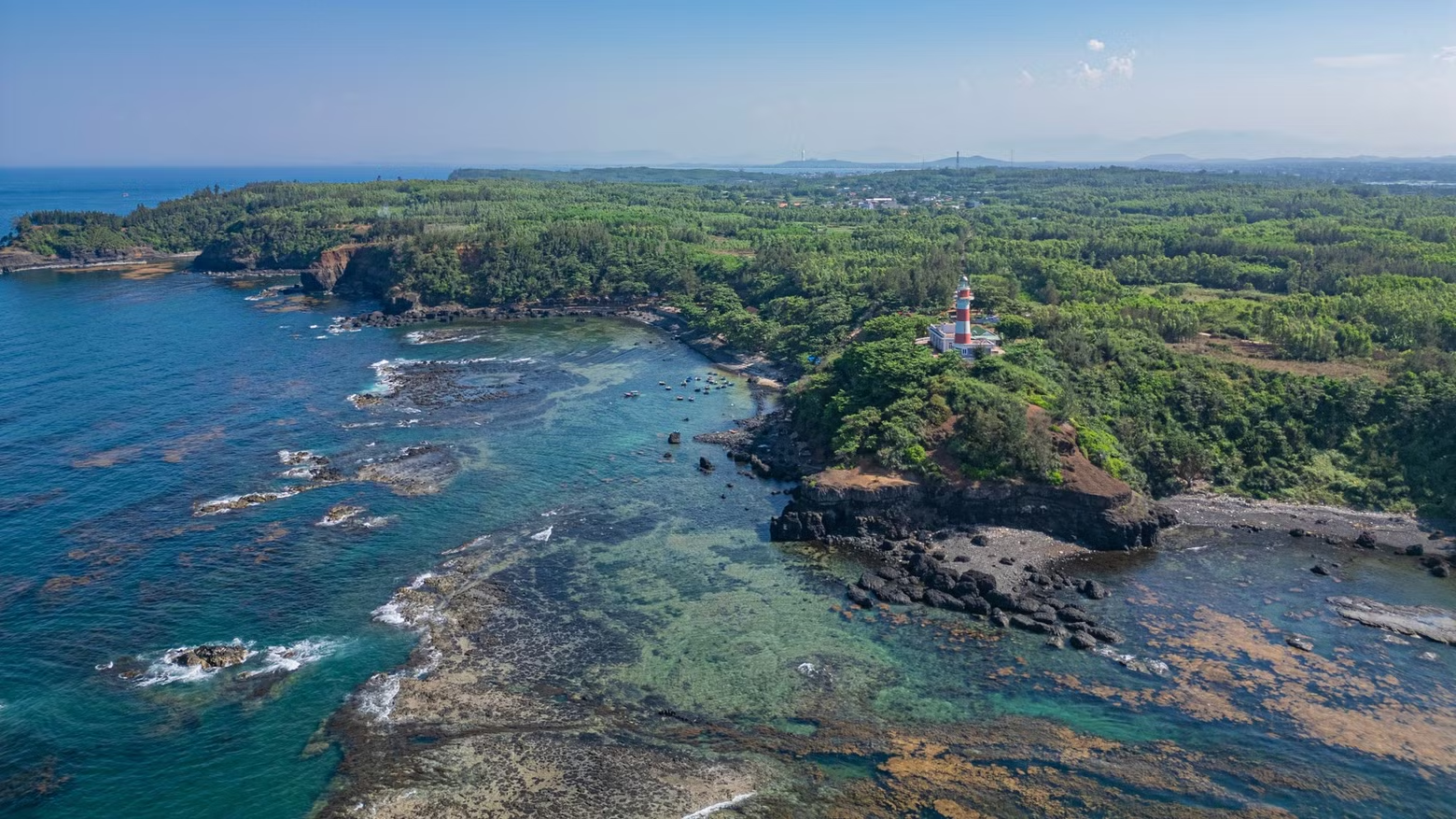
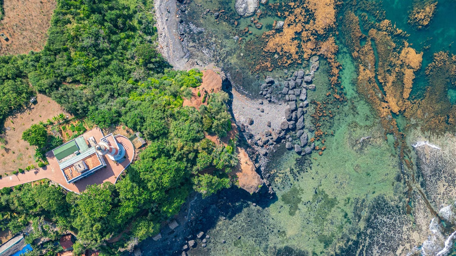
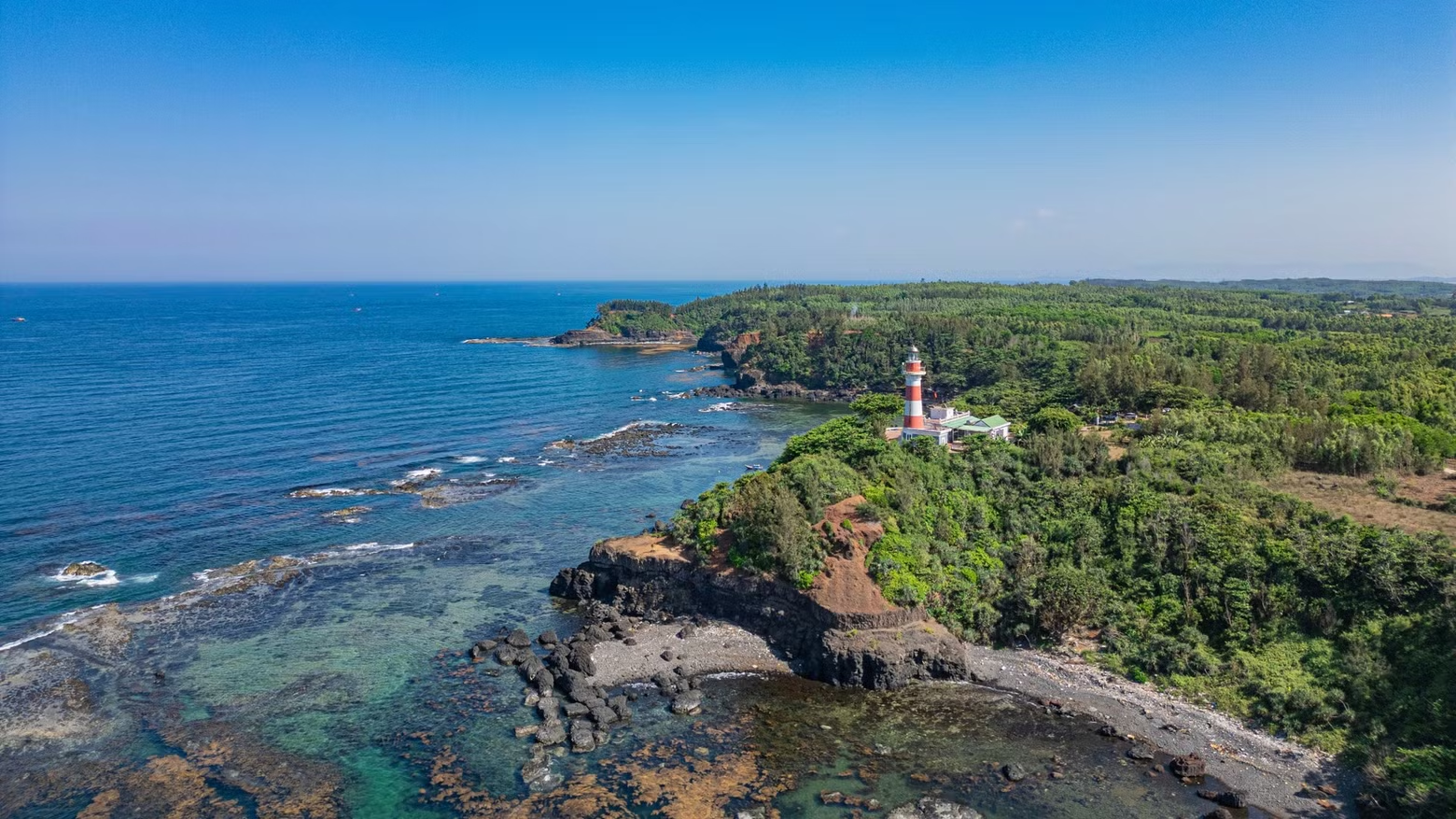
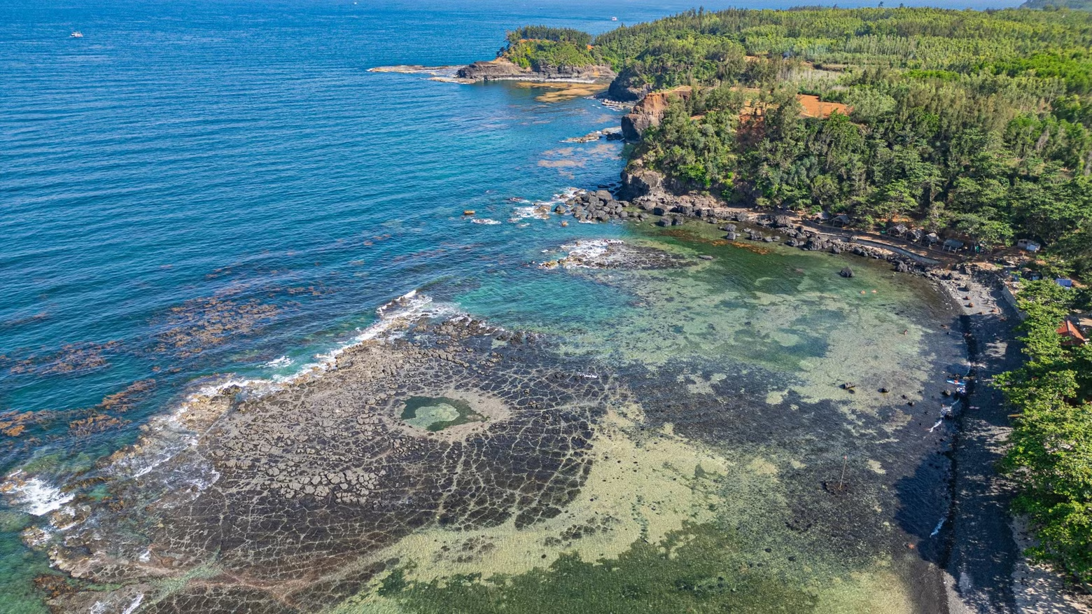
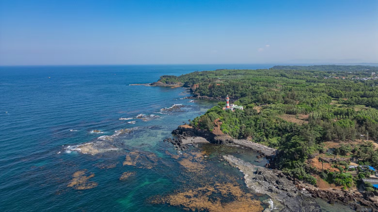
Viewed from above, Ba Lang An Cape stretches out into the East Sea/South China Sea like a giant arc. The cape is located in Dong Son Commune, Quang Ngai Province.
The name "Ba Lang An" (Three An Villages) originates from the combined names of three historic coastal villages sharing the syllable “An”: An Hai, An Vinh and An Ky.
In maritime documents dating from the French colonial period, the cape was marked on maps as “Cap Batangan” – a mispronunciation derived from “Ba Lang An”.
Geologically, Ba Lang An Cape is a vast basalt formation created by ancient lava flows that erupted millions of years ago.
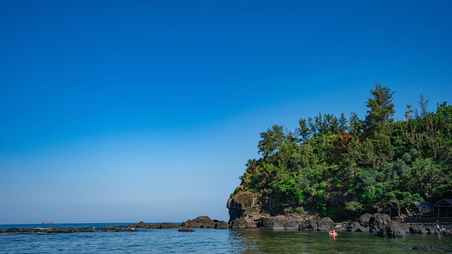
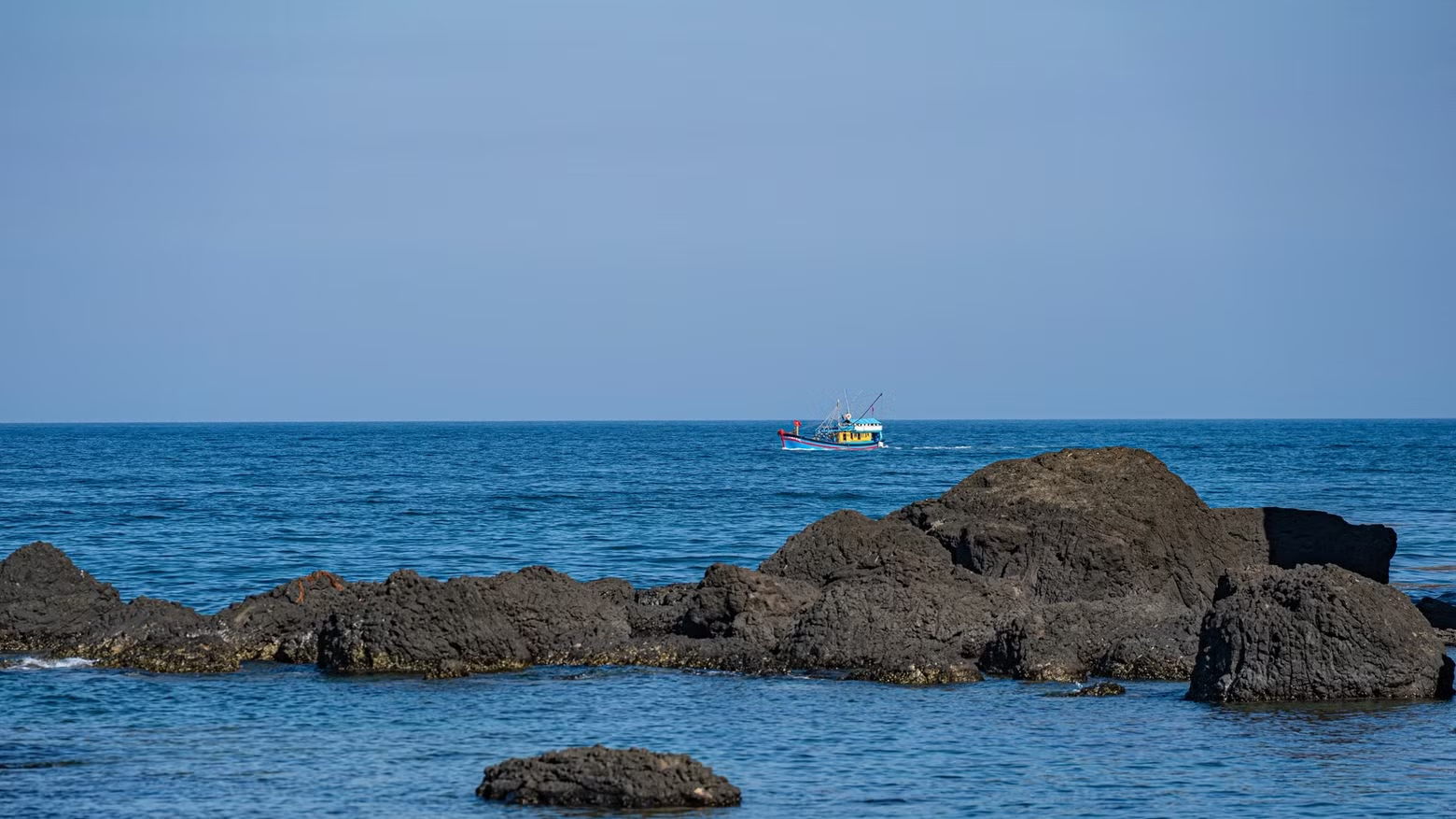
Over time, relentless marine erosion has sculpted dramatic layers of jet-black basalt cliffs, rivalling the celebrated landscapes of Ghenh Da Dia in Phu Yen and Ly Son Island.
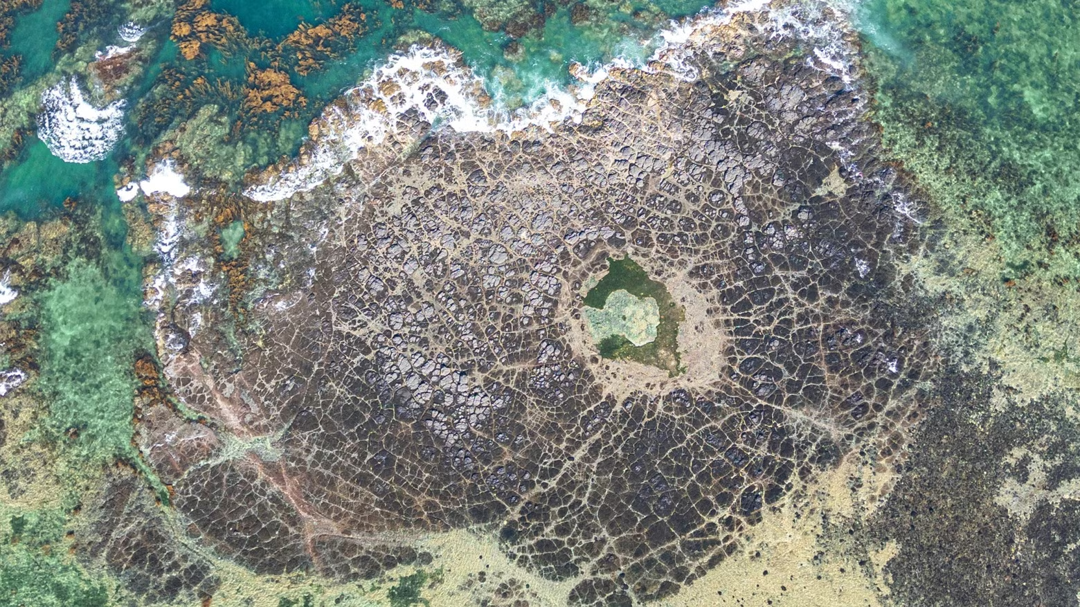
At low tide, the waters surrounding the rocky cape reveal an ancient volcanic crater alongside vibrant carpets of seaweed and coral, transforming the area into a living “lava museum”.
Its pristine beauty acts as a magnet for photographers passionate about capturing nature in its purest form.
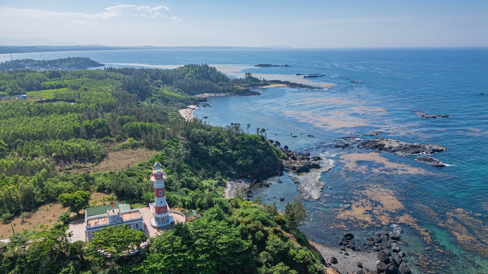
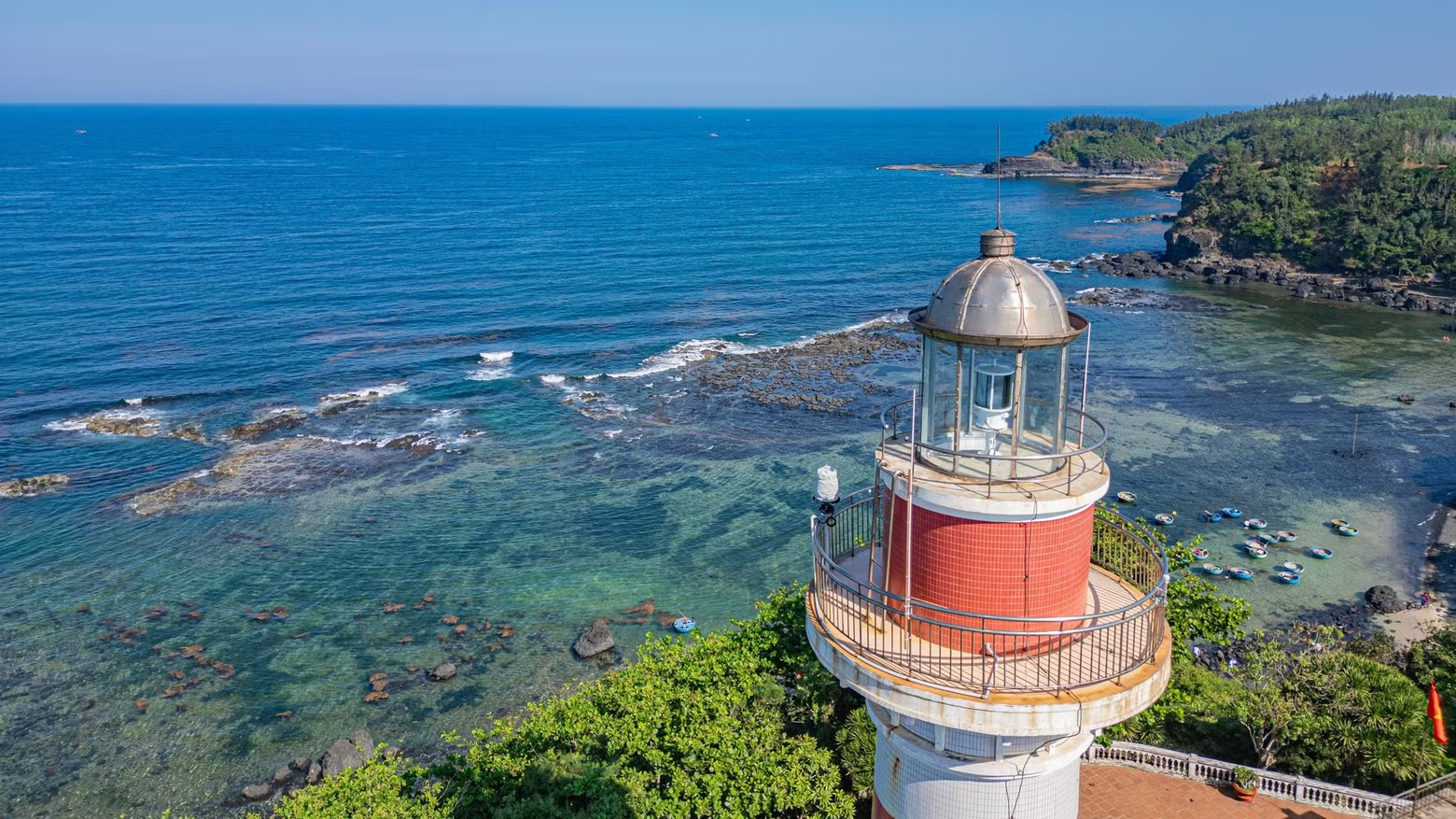
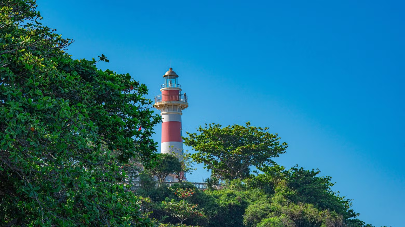
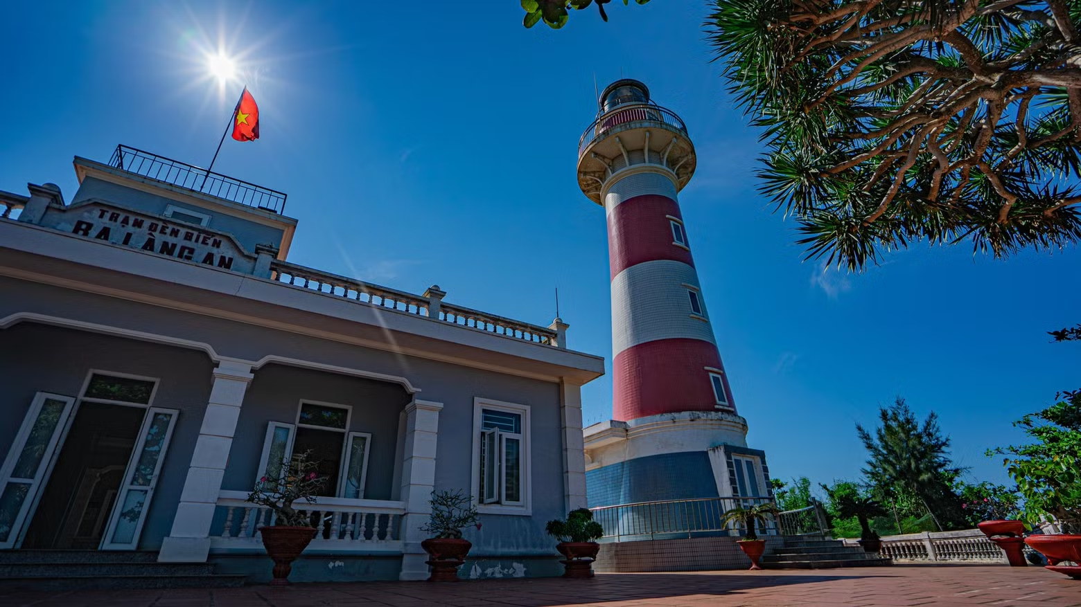
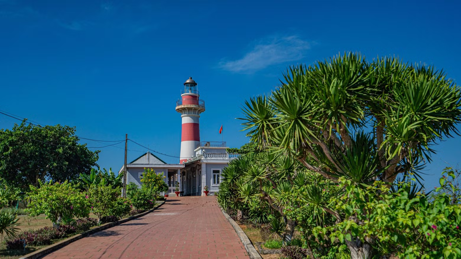
Standing on the farthest outcrop of Ba Lang An Cape is the lighthouse, which has been operating since 1982.
From its elevated position, the lighthouse beam reaches as far as 17 nautical miles, serving as a navigational guide for vessels off Quang Ngai and a safety beacon for ships entering and leaving Sa Ky Port.
The lighthouse has a sturdy cylindrical structure, painted in vivid red and white, and rises more than 36 metres above sea level.
Ba Lang An Lighthouse marks the closest point on Viet Nam’s mainland to the Hoang Sa Islands, lying only around 135 nautical miles away.
The land of Ba Lang An-Sa Ky was also one of the cradles of the historic Hoang Sa Flotilla, whose members carried out royal commands to brave the seas, erect boundary markers and safeguard national sovereignty.
For nearly half a century, Ba Lang An Lighthouse has guided vessels across Viet Nam’s waters.
The most striking geological feature at Ba Lang An Cape is an ancient volcanic crater spanning dozens of square metres beside the shoreline, fully exposed at low tide.
The crater is clearly visible from Ba Lang An Lighthouse.
NDO

You May Also Like

Back to top