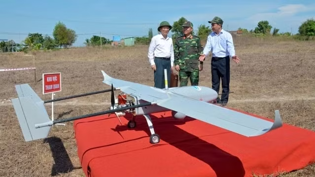
The drone, manufactured by Viettel Aerospace Institute, weighs 26 kilograms and can fly at speeds of 80-120 kilometres at a maximum altitude of 3,000 metres with an operating radius of 50 kilometres for up to three hours.
Equipped with electro-optical and infrared sensors, the vehicle can monitor at both day and night, transmitting full HD images to the ground control system in real time.
The drone can operate in conditions with wind speeds of less than 38 kilometres per hour.
In the test flight, the UAV was flown to monitor the Nui Ong forest area, about 40 kilometres from the control station.
From an altitude of 1,200 metres, the drone could observe a large area of forest, detect five spots, where there is fire, as well as many zones of suspicious and abnormal activities and transmit their exact coordinates to the control station.
Senior Colonel Than Hoang Ha said that the drone can take off and land on a makeshift runway, or take off from a launcher and land with a catcher, therefore it is very easy to deploy the drone in areas with complex terrain.

Members of the UAV control team

Team members are preparing for the drone to take off

IMAGE 3: The drone takes off from a launcher.

IMAGE 4: The drone is landed using a catcher net.

IMAGE 5: The images are transmitted to the control station in real time.

IMAGE 6: The test flight was attended by leaders of Binh Thuan province and relevant agencies.