According to the weather service, in the early hours of Friday morning, some areas of Lai Chau, Tuyen Quang and Bac Kan provinces suffered heavy downpours, with rainfall measuring 22.3-32.8mm.
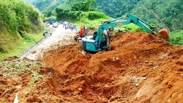
Torrential rains from 30-50mm are forecast for the areas in the next hours, likely to trigger landslides in the districts of Than Uyen (Lai Chau), Na Hang (Tuyen Quang) and Pac Nam and Ba Be (Bac Kan).
Meanwhile, the water level in the upper part of Lo River in Ha Giang province is likely to increase over Friday afternoon due to the regulating effect from Chinese reservoirs, said the NCHMF.
From August 4 to 6, the upper streams of the Da and Thao Rivers will breach their banks with the water level ranging from 2-4m. The flood peaks in upper Thao and Lo Rivers are likely to reach a warning level of 1 or 2 on the four tiered river flood warning system in Vietnam.
The rising water levels on local rivers also poses the threat of landslides and flash floods in Son La, Hoa Binh, Lao Cai, Yen Bai, Phu Tho and Ha Giang provinces.
In addition, due to the influence of a low pressure area which is likely to develop over the next few days in the North, the whole region is forecast to suffer heavy rains combined with thunderstorms and gusts until August 5, with downpours affecting the mountainous and midland areas, especially Dien Bien, Lai Chau and Lao Cai provinces.