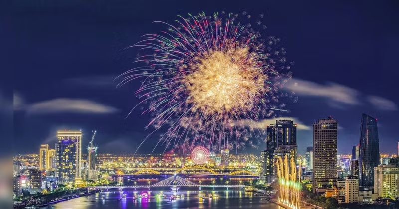
The master plan opens up new development space, aiming to transform Da Nang into a modern, smart, globally connected ecological coastal city and one of Asia's leading urban centreswith a distinctive cultural identity.
Under the decision, the planning area covers the entire administrative territory of Da Nang City, the Hoang Sa Special Zone and the maritime areas under the city's jurisdiction, in accordance with relevant regulations, with a total natural area of approximately 11,870.34 square kilometres.
By 2050, Da Nang aims to become a major national growth pole and a national and regional centre for entrepreneurship, innovation, logistics, the marine economy, free trade, finance, science and technology, the digital economy, tourism and high-quality services.
Looking towards 2075, the city aspires to meet the criteria for a special-class urban centre, achieve global connectivity and rank among Asia's leading developed cities.
In terms of development scale, Da Nang's population is projected to reach approximately 5.5 million by 2040 and exceed 6.5 million by 2050. The number of overnight tourist visits is expected to reach around 130–135 million by 2050.
The master plan envisages Da Nang's spatial development based on a multi-polar, multi-centred, multi-tiered and multi-layered urban network, structured around three development zones, three growth poles, two north–south connectivity axes and four east–west corridors.
Three development zones include the eastern coastal zone, focusing on industry, services and urban development; the western midland and mountainous zone, prioritisingecological development, high-tech agriculture and heritage conservation; and the eastern maritime zone, encompassing the Hoang Sa Archipelago and other islands.
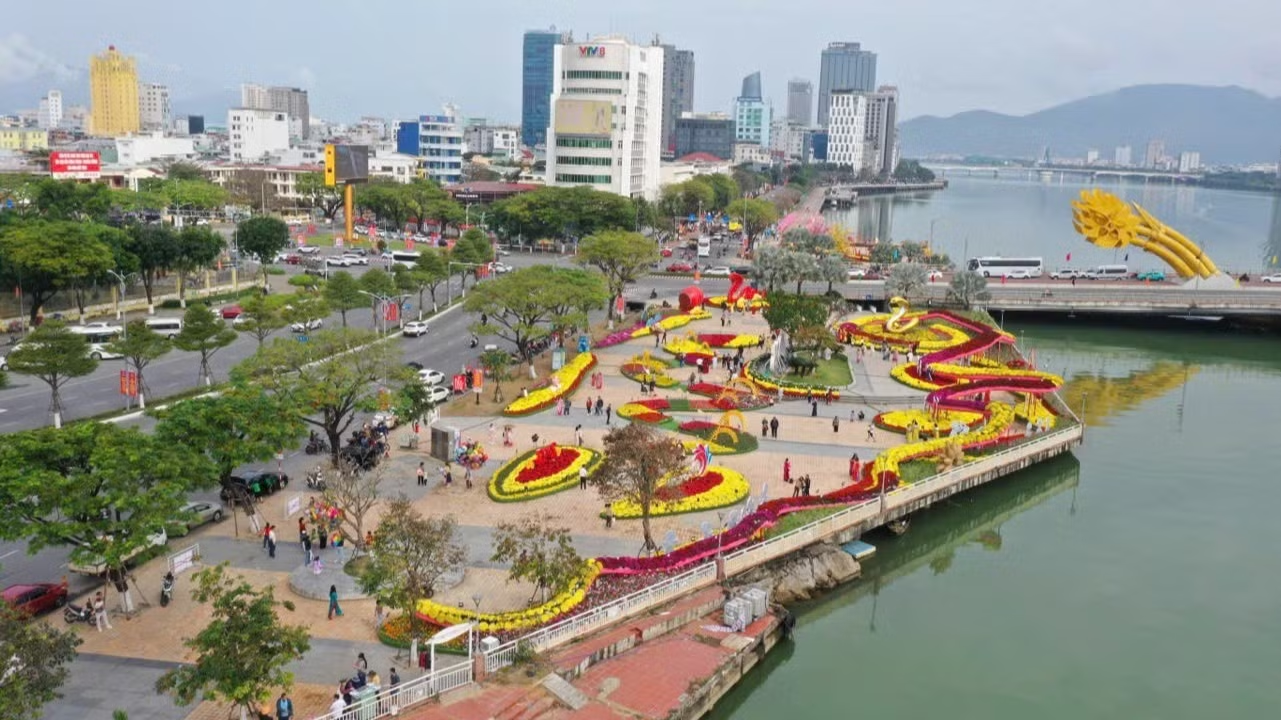
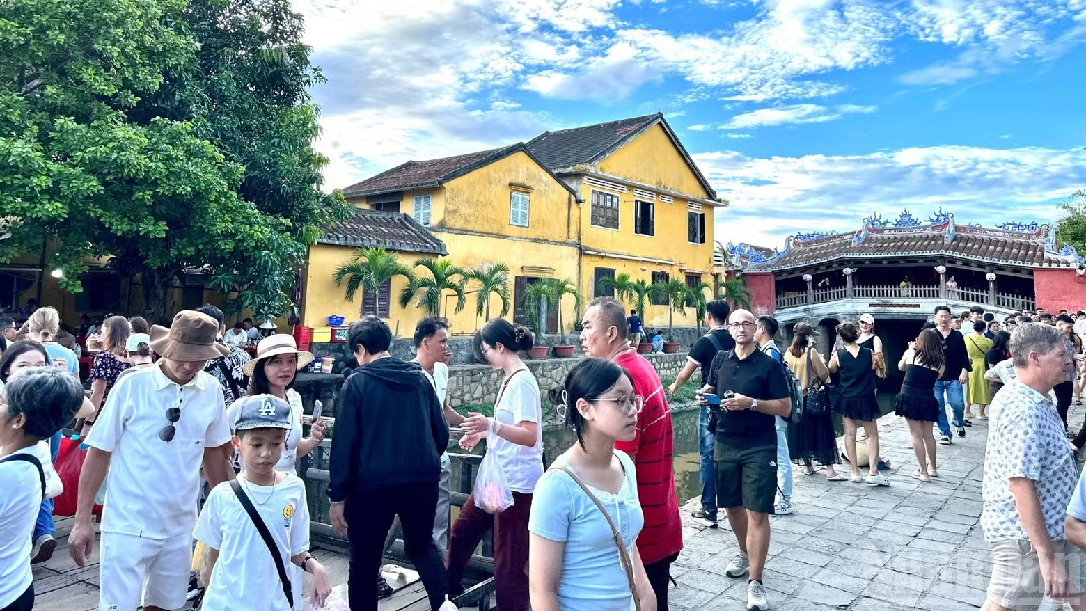
Three growth poles consist of the northern growth pole, comprising the expanded existing Da Nang urban area, Dien Ban and Hoi An, serving as a hub for finance, tourism and high technology; the southern growth pole, covering Chu Lai, Tam Ky and Nui Thanh, focusing on industry, energy and logistics; and the South Hoi An connectivity pole, encompassing Duy Xuyen, Thang Binh and Que Son, with an emphasis on new urban development, tourism and trade.
Notably, the master plan envisages the development of multifunctional land-reclamation urban areas integrating residential, tourism, service and commercial functions to generate new growth momentum. Land reclamation will be planned to ensure harmonious development with natural ecosystems, optimise land use and safeguard continuous public access to the sea.
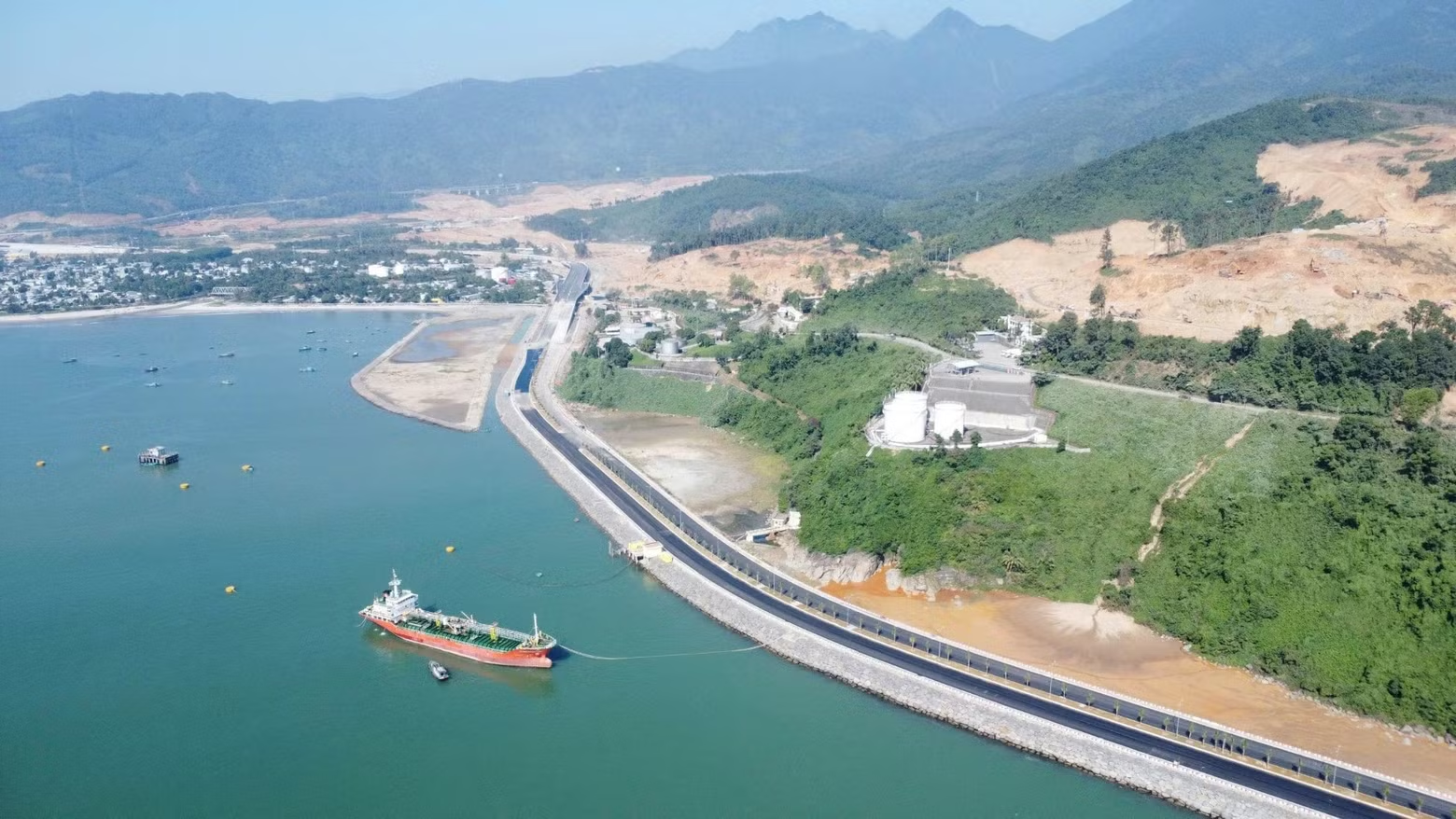
Priority areas for land-reclamation studies include the Lien Chieu Port area, covering approximately 450 hectares; Da Nang Bay, around 1,500 hectares; the southern Son Tra area, approximately 100 hectares; and other potential locations in the southern part of the city.
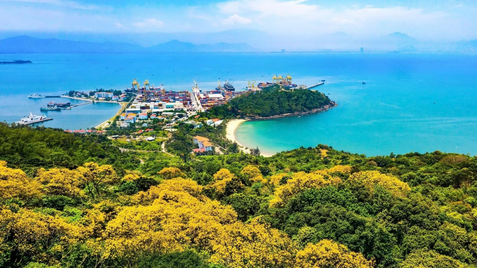
Two north–south connectivity axes are the eastern axis, linked to National Highway 1, the North–South Expressway, the high-speed railway and coastal roads; and the western axis, connected to the Ho Chi Minh Trail and the Eastern Truong Son route.
Four east–west corridors are developed along National Highways 40B, 14E, 14D and 14G, strengthening connections between coastal areas, the midlands, mountainous regions and international border crossings.
By 2050, Da Nang is expected to have approximately 30 urban centres, including four designated Class-II urban centres — Da Nang, Tam Ky, Hoi An and Dien Ban — which will serve as key development hubs.
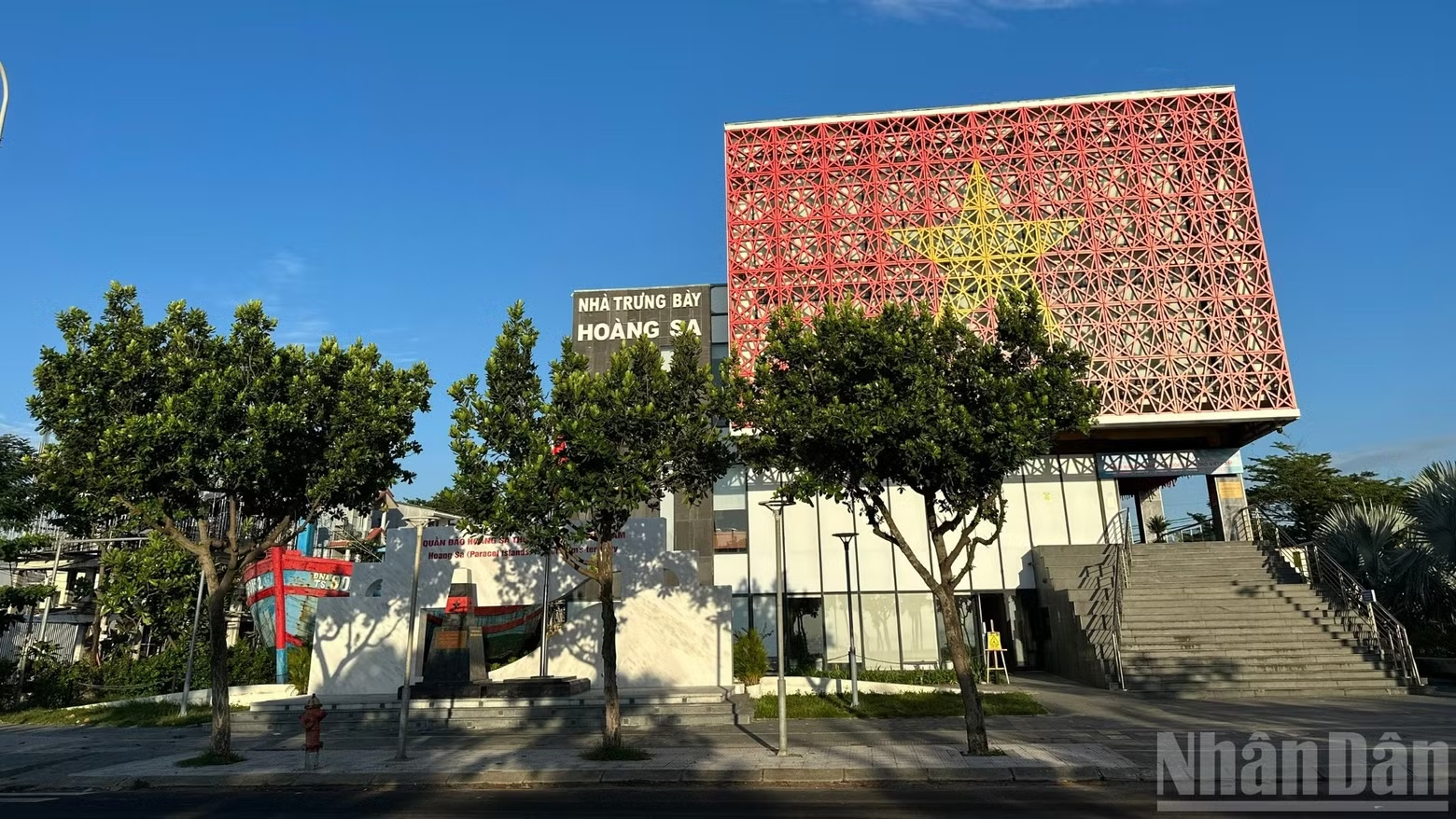
The Hoang Sa Special Zone is designated as a special administrative unit, focusing on safeguarding maritime and island sovereignty, conducting marine scientific research and promoting sustainable marine economic development. Regarding functional development zones, the master plan identifies three potential national tourism areas: Son Tra National Tourism Area, Cu Lao Cham National Tourism Area and Ba Na National Tourism Area.
Regarding the economic and technological development, the plan calls for expanding Da Nang Hi-Tech Park to 1,710 hectares, the concentrated information technology park to 341 hectares, Chu Lai Open Economic Zone to 27,040 hectares and Nam Giang Border Gate Economic Zone to 31,060 hectares.
In terms of free trade zone and financial centre, priority will be given to ensuring the effective operation of functional areas within the Da Nang Free Trade Zone and developing an International Financial Centre (IFC) in the existing northern urban core and newly reclaimed coastal urban areas.
In logistics infrastructure, investment will focus on developing Lien Chieu Port into an international port of entry and upgrading and expanding Chu Lai International Airport into an air logistics hub.
The implementation of the master plan will be divided into specific phases. During the 2026–2030 period, sector-specific planning frameworks will be completed, while strategic infrastructure and concentrate resources will be focused on key projects, including the International Financial Centre, Da Nang Free Trade Zone, Lien Chieu Port and land-reclamation urban developments.
Between 2030 and 2040, a multi-polar coastal urban network will be perfected and investment will be proritied in high-capacity public transport systems, including metro and light rail transit (LRT), as well as high-speed rail (HSR), in conjunction with transit-oriented development (TOD) to promote compact urban growth.
In the 2040–2050 period and beyond: the multi-polar urban structure, green infrastructure and digital infrastructure will be completed, while maintaining balanced and sustainable development between economic growth, the conservation of natural resources and heritage, and the safeguarding of national defence and security in border, maritime and island areas.
Beyond 2050, Da Nang will continue pursuing balanced development between urban and rural areas, and between economic growth and the preservation of natural resources, heritage and landscapes. The ultimate goal is to develop Da Nang into a modern, smart, and globally connected ecological coastal city.