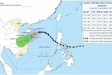
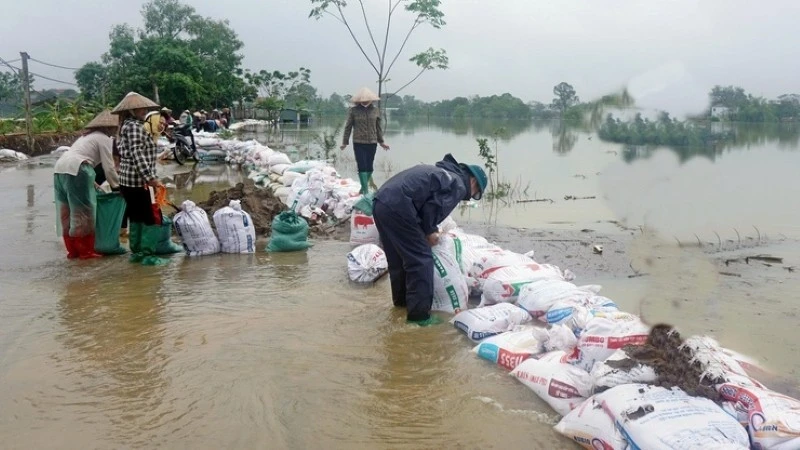
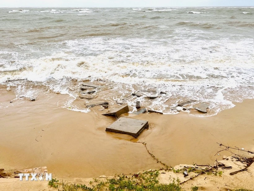
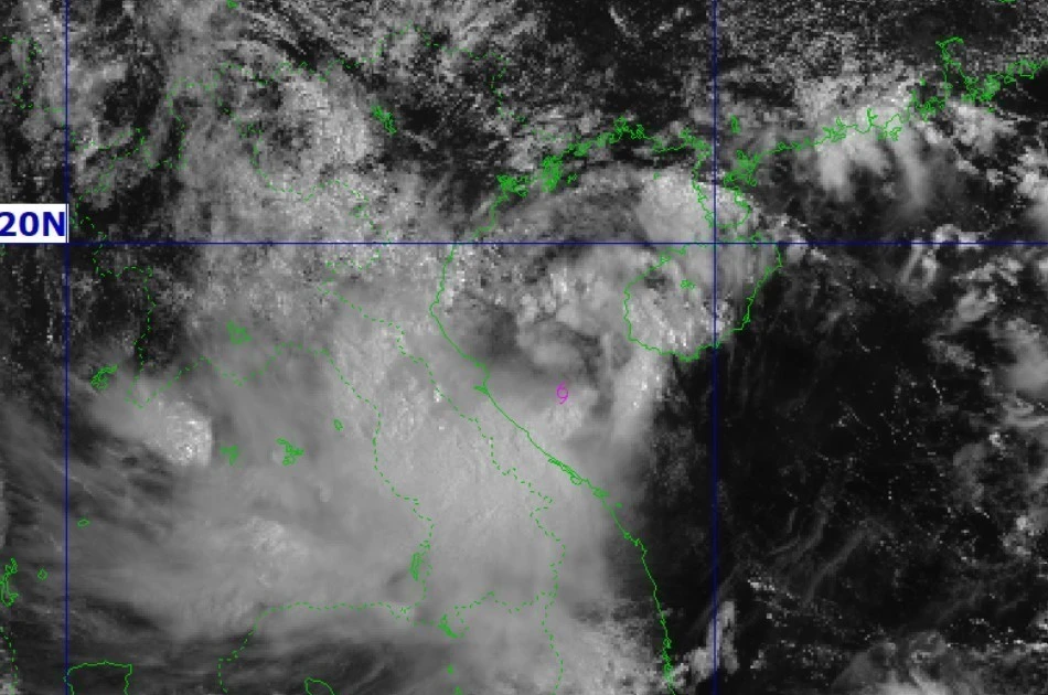
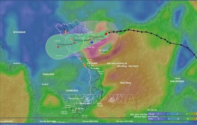
Typhoon No. 12 to bring up to 900mm of rainfall to central Viet Nam
Typhoon No. 12 strengthened to level 9–10, with gusts reaching level 12, located about 200km from the Hoang Sa (Paracel) Archipelago at 4 am on October 21.
#Storm
Có 10 kết quả
Typhoon No. 12 strengthened to level 9–10, with gusts reaching level 12, located about 200km from the Hoang Sa (Paracel) Archipelago at 4 am on October 21.
Amid the complicated developments of Storm Matmo, Chairman of the Ha Noi People’s Committee Tran Sy Thanh has instructed local wards and communes to concentrate leadership and direction efforts, remain ready to implement response measures; and advised offices and agencies to allow employees to work from home on October 6 in order to limit the number of people travelling outdoors.
Storm Nongfa weakened into a tropical depression and rolled into the mainland between central Ha Tinh and Quang Tri provinces on August 30 afternoon, said Director of the National Centre for Hydro-Meteorological Forecasting Mai Van Khiem.
A tropical depression in the northwestern part of the East Sea has intensified into a storm – Nongfa, the sixth in the sea this year, according to the National Centre for Hydro-Meteorological Forecasting.
As of July 23, though downgraded to a tropical depression, Storm Wipha (Storm No. 3) has triggered prolonged heavy rainfall across vast swathes of northern and north-central Viet Nam, leading to widespread flooding, significant agricultural losses, and structural damage.
As of 1:00 am, the low-pressure area was located at around 20.0 degrees North latitude and 104.8 degrees East longitude. The strongest winds near its centre were below level 6 (under 39 km/h). Earlier, in the night of July 22, it had weakened into a low-pressure area over the Viet Nam–Laos border.
Storm No. 3, internationally known as Typhoon Wipha, passed north of China’s Leizhou Peninsula on the morning of July 21 and entered the northern Gulf of Tonkin, posing a growing threat to Viet Nam’s northern and north-central coastal regions, according to the National Centre for Hydro-Meteorological Forecasting.
Wutip, the first storm arising in the East Sea so far this year, has caused widespread flooding, landslides, and infrastructure damage in central localities, prompting them to take urgent response measures.
A tropical depression in the East Sea/South China Sea is forecast to intensify into a storm by the morning or early afternoon of June 11—sooner than previously expected. Notably, this system has a broad circulation, potentially affecting a large area.