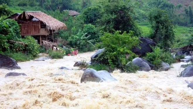
The programme aims to assess the risks of natural disasters in each region of Vietnam, with special attention given to annual natural disasters such as typhoons, storm surges, floods, flash floods, landslides, droughts, and saline intrusion.
The scope of the programme will be concentrated in hurricane prone areas in remote islands and inland areas.
The programme focused on the classification of natural disaster risks, the mapping of tropical pressure warning, storms and sea level rise caused by storms, disaster risk mapping and flood warning mapping, and landslides in midland and mountainous areas.
Deputy PM Trinh Dinh Dung asked the Ministry of Natural Resources and Environment to coordinate with the Ministry of Agriculture and Rural Development and the relevant agencies and localities to implement the programme.