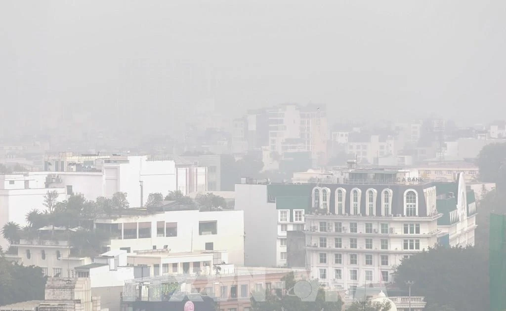
From late October 26 to the early hours of October 27, areas stretching from Hue city to Quang Ngai province experienced heavy to extremely heavy rainfall, with some places recording over 100mm. The Bach Ma station in Hue measured 119.8mm, while the Rach Bun station in Dong Thap recorded 165.8mm.
Between October 27 and 29, torrential rain is expected from the southern area of Quang Tri to Da Nang and the eastern part of Quang Ngai, with rainfall totalling 200–400mm and localised areas exceeding 600mm. From Ha Tinh to the northern part of Quang Tri, moderate to heavy showers are forecast, with totals reaching 100–200mm. Other central provinces, including Gia Lai and Dak Lak, are likely to see rainfall of between 40–80mm, with some areas exceeding 150mm within three hours.
Severe rainfall may cause flash floods, landslides on steep slopes, and widespread flooding in low-lying and urban areas. Residents are urged to closely follow real-time flood and landslide warnings available at luquetsatlo.nchmf.gov.vn.
Hue and Da Nang cities are facing rising water levels as the Huong (Perfume) and Vu Gia–Thu Bon rivers swell from upstream discharges. The Vu Gia River at Ai Nghia station is expected to peak at level 3 before receding, while rivers in Hue will stay above this threshold. Authorities have issued a disaster risk warning at levels 2–3 for both cities.
Coastal areas from the southern part of Quang Tri province to Quang Ngai province are experiencing strong winds and high tides. The northern part of the East Sea/South China Sea, including Hoang Sa special zone, faces winds of 6–7 on the Beaufort scale, with gusts up to 9 and waves of 3–5m. The Gulf of Tonkin and central coastal areas are also seeing rough seas and waves up to 4m.
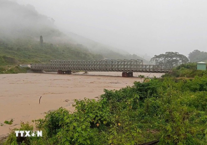
In recent days, continuous downpours have severely affected several central provinces. In Hue, major streets were submerged. Local authorities have warned of prolonged flooding in downstream areas, flash floods, and landslides in mountainous communes.
In Quang Ngai, heavy rain on October 25–26 triggered multiple landslides, isolating several communities. Over 70 households were relocated from high-risk zones, while transport routes such as National Highway 24C remain impassable.
In Kon Tum province’s Dak Plo commune, torrential rain caused serious landslides, damaging homes, roads, and crops. Nearly 450 households were temporarily cut off, and local authorities mobilised heavy machinery to restore access once conditions allow.
Local disaster response teams continue to monitor water levels, reinforce dykes and reservoirs, and coordinate evacuations to ensure public safety. Authorities have strictly prohibited travel through flooded or landslide-prone areas as central Viet Nam braces for further heavy rain in the coming days.
